

A significant proportion of methane emissions comes from fossil fuel operations, but identifying specific sources is challenging. Studies show that a small number of high emitting leaks are responsible for the bulk of emissions, yet finding them is often expensive, logistically challenging, labour intensive, and inaccurate. Current methods to monitor oil sand mining, for example, have a degree of uncertainty of 50% or more. To effectively deal with emissions, we need to know where they are.
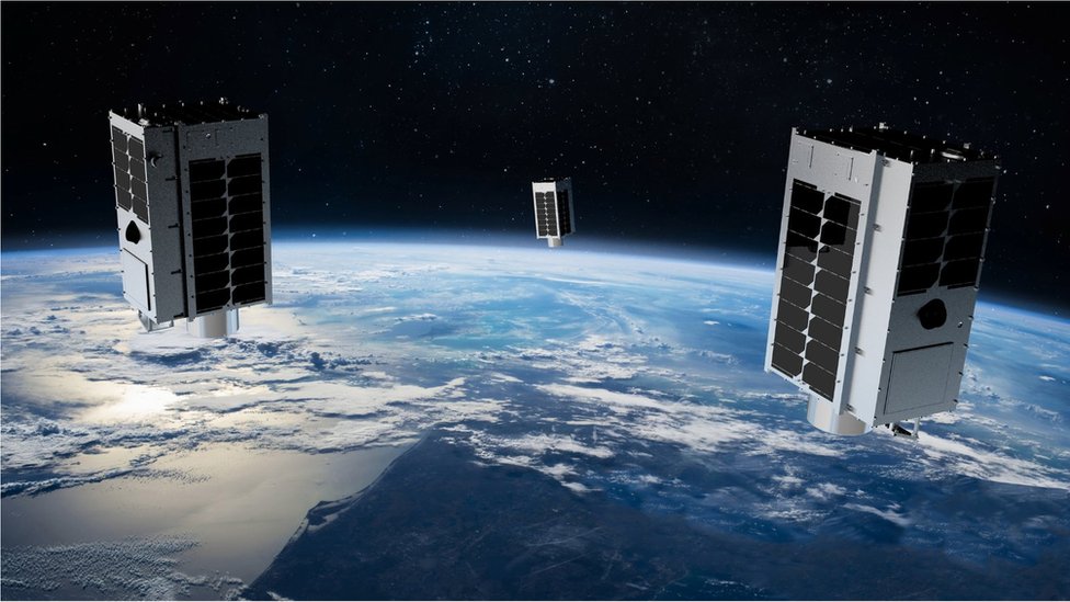
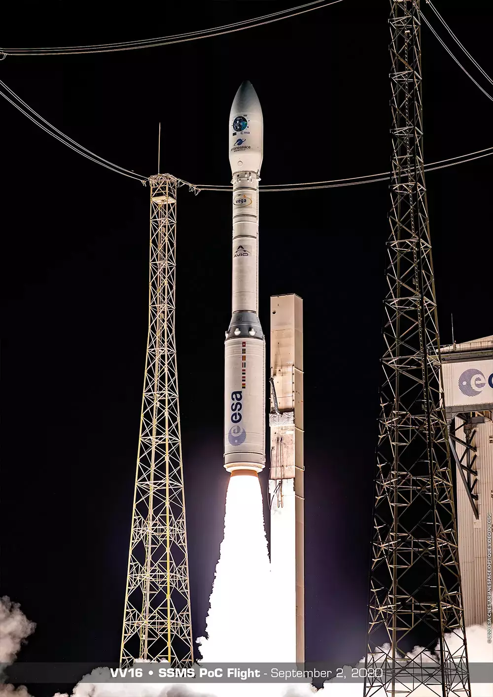
GHGSat has developed a satellite specifically designed to look for and monitor facility-level emissions. Launching the first demonstration satellite in 2016 and a second, commercial satellite in 2020, it uses a Fabry-Perot imaging spectrometer to measure methane concentrations at any point on earth every other day. These periodic surveys identify super-emitters at a low cost without the need for on-site equipment.
Aggregating data from its own and third-party satellites and other sources, GHGSat offers a range of commercial services including high-resolution imagery from space and aircraft, leak risk assessment, hotspot detection, and predictive analysis. To raise awareness of methane with the broader public, the company released a free online tool that shows monthly averaged methane concentrations in the atmosphere on a grid 2km x 2km over land worldwide.
In February 2021, a new high-resolution GHGSat satellite captured images of a 52 square kilometre area of central Turkmenistan where eight leaks were emitting around 10 tonnes of methane an hour – an hourly warming equivalent of driving 250,000 cars. Analysis of the image revealed that half of the emissions from the gas field were likely to be coming from leaky valves on natural gas pipelines, and the other half from flares.
When GHGSat found and reported a similar Central Asian leak in 2019, the resulting fix was equivalent to taking one million cars off the road a year.
GHGSat aims to launch its third satellite in January 2021, and a further 8 by end of 2022. Improved data availability will help super-emitters mitigate their emissions and provide global policy makers with a better understanding of the problem.

